
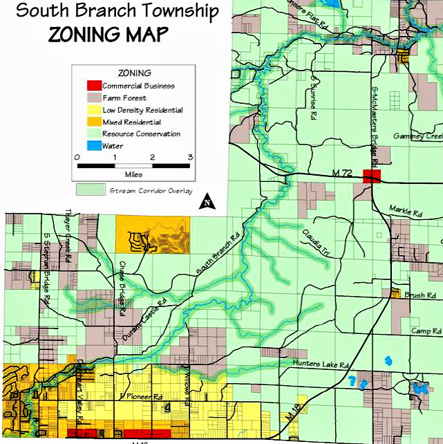
Within South Branch Township, the Stream Corridor Overlay (SCO) zoning district, also referred to as the “The Natural Rivers Zoning District” by the MDNR, includes an area 400 feet wide on each side of and parallel to all channels of the Au Sable’s designated mainstream and its designated tributaries. This district establishes a definable area within which future development and land use is regulated by our local, township zoning ordinance. The South Branch Township Zoning Ordinance was designed to be harmonious with the Michigan Department of Natural Resources Natural Rivers Zoning Rules, regarding regulations specific to the SCO zoning district.
The Stream Corridor Overlay district has some specific regulations and restrictions, which do not generally apply to other zoning districts. For this reason, it is very important that land owners of parcels located within the SCO district or individuals considering purchase of such parcels be aware of these specific regulations and restrictions. Please consult the following sections of the SBT Zoning Ordinance for more information.